With the advancement of technology, various aspects of human life have been enhanced, including the development of practical and useful daily applications such as Google Maps.
Introduced in 2005, Google Maps is an online mapping application that offers satellite imagery, street views, navigation, traffic conditions, public transportation information, and more.
Interestingly, when you enter a destination into Google Maps, the application doesn’t always suggest the shortest route. Instead, it often proposes a path that appears to be longer. However, there’s a valid reason behind this behavior.
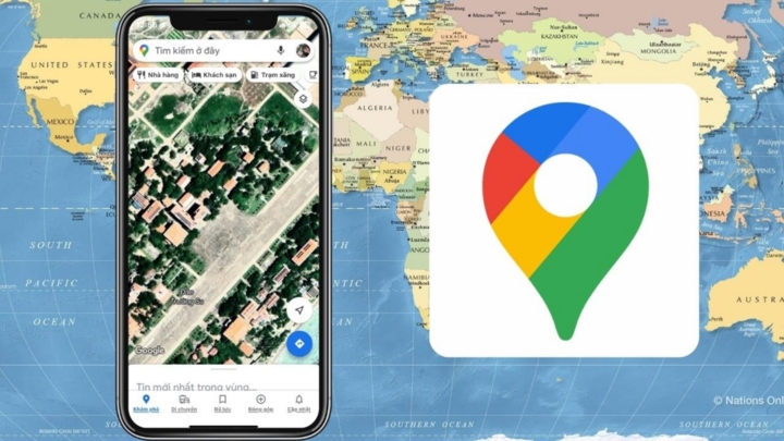
Why does Google Maps often suggest a longer route instead of the shortest path?
According to Geographic FAQ Hub, the platform considers various factors and analyses to determine the optimal route for users to reach their destination faster, even if it means traveling a longer distance compared to other routes displayed in the application.
In reality, Google Maps is more than just a simple mapping and navigation application; it is a platform that stores user history, including the routes taken and the means of transportation used.
The application can detect when a shorter route might slow down your travel due to certain issues, such as an accident reported a few minutes ago or heavy traffic congestion. In such cases, the app will redirect you to an alternative, longer route rather than have you stuck on a single route for an extended period, as long as its algorithms calculate that you’ll arrive at your specified destination faster.
Additionally, Google Maps aims to distribute traffic evenly across different routes by suggesting varied paths to users. This helps prevent congestion that could occur if all users were directed to the same route.
However, the suggestion of longer routes can also occur during early morning or late-night hours when there is typically no traffic congestion. Why does this happen?
Google Maps prioritizes fuel-efficient routes to minimize CO2 emissions. These routes may be longer in distance but help optimize fuel consumption, contributing to environmental protection. This is indicated by a green leaf icon on the map, and users can see the difference in emissions between routes to make an informed choice.
Moreover, user preferences also play a role. If Google Maps records that a user frequently chooses a particular route or street when passing through a specific area of a city, it considers this a sign that the user prefers that path, regardless of the time of day or traffic conditions.
In any case, when entering a route into Google Maps, users can change the suggested path by clicking on one of the alternative options displayed in gray instead of blue. Each route on Google Maps will have different colored bars indicating the traffic situation in that area: green for smooth traffic, orange for moderate congestion, and red for heavy congestion.
According to VTC News
Beat the Traffic Blues: Master the Art of Using Google Maps to Navigate Like a Pro
Are you tired of getting stuck in traffic and wasting precious time on your daily commute? It’s time to take back control of your journey with a simple yet effective solution – mastering the art of checking traffic on Google Maps. This powerful tool can be your secret weapon to navigate through congestion like a pro and reach your destination with ease.
The Pigeon Postal Service: Navigating Without a Compass
The age-old question has always been – how do homing pigeons find their way home without a compass or GPS? These remarkable birds have an innate ability to navigate with pinpoint accuracy, a skill that has baffled and intrigued humans for centuries. It’s a natural wonder that has inspired and fascinated generations, leaving us in awe of their remarkable homing capabilities.
The Ultimate Guide to Beating Traffic Jams in Ho Chi Minh City with Zalo and Visuals
Ho Chi Minh City is often plagued by issues such as flooding and, more notably, traffic congestion, which tend to worsen during major holidays. While these problems cannot be solved overnight, there is no need to worry as you will discover an innovative solution in the article that follows – a Zalo-based traffic jam lookup tool that utilizes images from across the city.


