Flooding is often caused by excessive rainfall. To avoid flooded roads, consider using the following smart apps:
First – UDI Maps app
Step 1: Install the UDI Maps application on your phone.
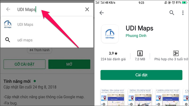
Step 2: Open the UDI Maps app and enter your location. Utilize the following functions:
Route finder function
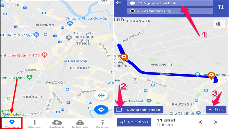
This function helps you find a route that avoids flooded roads from your current location to your destination.
– Select the navigation icon.
– Enter your current location and destination.
– Check the “Road avoid flooding” icon and press Start. The application will provide alternative routes to avoid flooded areas.
Status function
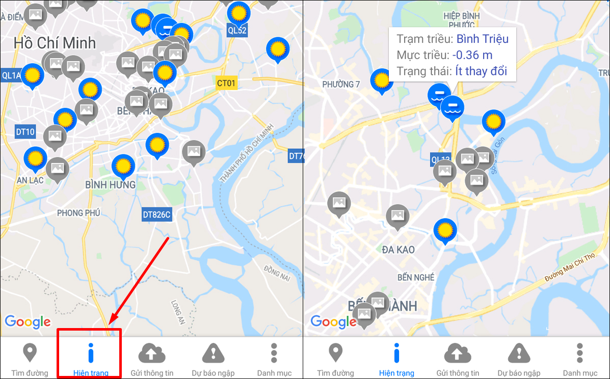
Use the status icon to get information about flooded areas. The application will display tide station information, tide levels, and the status of the area you search.
Information sending function
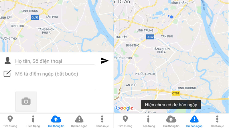
Use the information sending icon (cloud image) to update information about flooding or weather changes. Fill in your personal information, describe the flood situation, and attach a photo as proof.
Directory function
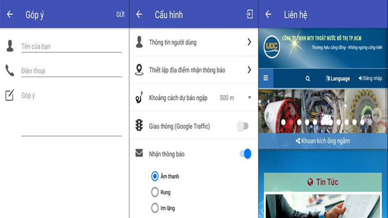
In the categories section, you can access functions such as sending suggestions to manufacturers, changing application configurations, and visiting the website for more information.
2 – HSDC Maps app
Step 1: Install the HSDC Maps application on your phone.
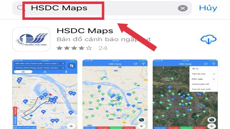
Step 2: Open the HSDC Maps app and enter your location. Explore the available functions:
Route finder function
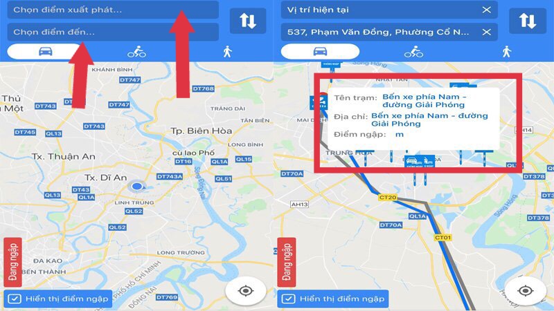
If you want to avoid flooding, use the navigation icon to enter your destination and starting point. The app will display information and flood levels for each destination, helping you choose the best route.
Status function
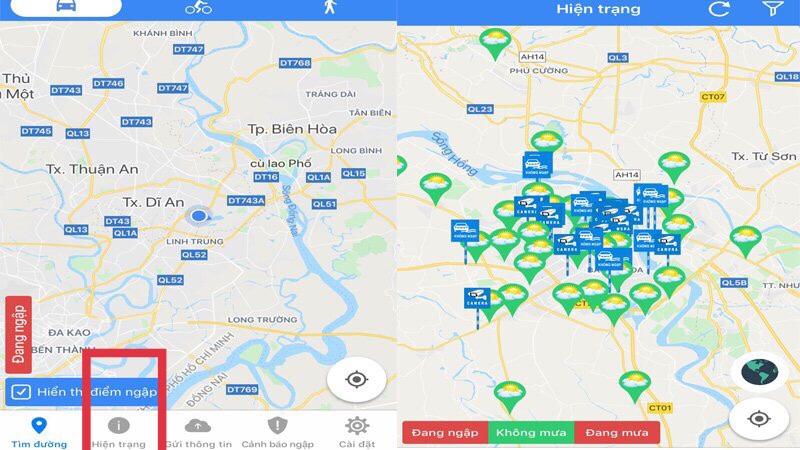
Use the information sending icon to update the application with flood situation or weather fluctuations. Enter your personal information, describe the situation, and attach a photo as evidence.
Flood warning function
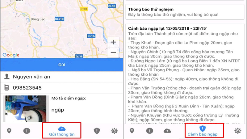
Clicking on the flood warning icon will provide information about nearby flood points.
Settings
In the settings section, you can configure notifications, user information, comment, and contact details.
Stay safe and download these apps to enhance your experience and protect yourself from flooding. For more information, check out the Bach Hoa GREEN”>Good experience Bach Hoa GREEN article.
Explore more:


